USGS says glacial collapse, not a quake, drove Nepal-Tibet flood that left 1,500 missing
The signal first logged as a 4.4 earthquake was ice and rock falling 1.2 km. Nepal has recovered 165 bodies. Almost 800 foreigners are among the missing on both sides of the border.

Trishuli4 min read
Last updated
The United States Geological Survey now says no earthquake struck the Nepal-Tibet border on Wednesday morning. The tremor first reported as magnitude 4.4 was the ground shaking from ice and rock leaving a glacier and racing down the Lhende Khola. The agency later put the seismic energy of that collapse at magnitude 5.2. Daniel Shugar, a geomorphologist at the University of Calgary, read early satellite frames and estimated that a 0.2 square kilometre slab of ice dropped about 1.2 kilometres before it hit the valley floor.
By Thursday afternoon Nepal had recovered 165 bodies. Police spokesman Abi Narayan Kafle told Reuters the count will rise as search teams reach more stretches of the Trishuli and Bhote Koshi. Almost 1,500 people are unaccounted for across Nepal and China's Tibet Autonomous Region. That figure includes close to 800 foreign nationals.
Nepal lists 826 missing, among them about 500 foreigners from more than two dozen countries. Tourism and police tallies circulating on Thursday named 177 Indians, 63 Americans, 53 Ukrainians, 34 Australians, 33 British nationals, 28 Malaysians and 25 Canadians. Many of the Indians were on the Kailash Mansarovar pilgrimage route that threads through Rasuwa. Chinese state broadcaster CCTV put the missing in Gyirong County at 558, of whom 260 were foreigners. Three deaths have been confirmed on the Tibetan side.
The flood began around 8:37 a.m. local time. Ice and rock entered the Lhende Khola, a tributary that feeds the Bhote Koshi, then the Trishuli. Video from Gyirong Port shows a brown wave overtaking the customs compound at about 1,800 metres elevation. The same surge then hit Timure and Syapru Besi on the Nepali side, tearing out the Rasuwagadhi crossing, stretches of the Araniko corridor, and hydropower works along the river.
Chinese authorities have also flagged a lake still dammed upstream of Gyirong. CCTV said the blockage could send a second pulse down the same valley if it fails. Climate researchers at the International Centre for Integrated Mountain Development have pointed out that the Lhende Khola already flooded 14 months earlier. Saswata Sanyal described this week's event as an ice-rock avalanche that blocked the river and then released a sudden surge.
Shugar's working explanation is meltwater. He said snowmelt and glacier ice melt likely sent liquid water to the bed of the glacier, lubricating the ice until the slab gave way. That reading matters because Himalayan communities have treated Wednesday's first reports as a seismic surprise. The USGS revision turns the disaster into a mass-movement problem that satellites and seismic arrays can, in principle, watch in advance.
India has raised its relief lift. External Affairs Minister S. Jaishankar said a second Indian Air Force flight left on Thursday with 37.5 tonnes of shelters, medicines and food after a C-130J from Hindon delivered 10 tonnes on Wednesday night. Prime Minister Narendra Modi spoke to Nepal Prime Minister Balendra Shah on Wednesday and offered further help. Shah left by road for Bidur in Nuwakot to inspect the worst-hit stretches.
Bihar and Uttar Pradesh have put districts along the Gandak on alert. The river draws from the same Himalayan system. North Bihar's Champaran, Sitamarhi, Supaul, Darbhanga, Madhubani, Madhepura and Saharsa districts flood in most monsoon years when Nepal releases or loses water. NDRF teams are on standby. Tamil Nadu officials said 21 pilgrims from the state had been accounted for while a search continued for 36 others. A 32-member Kolkata group on the Mansarovar route remains among the missing from West Bengal.
Rescue helicopters have struggled to land at Syapru Besi and Timure because the valley floor is now mud, wrecked concrete and standing water. Bodies recovered so far have come from riverbanks and from buildings that held against the first wave. Kafle said teams restarted the search at first light on Thursday.
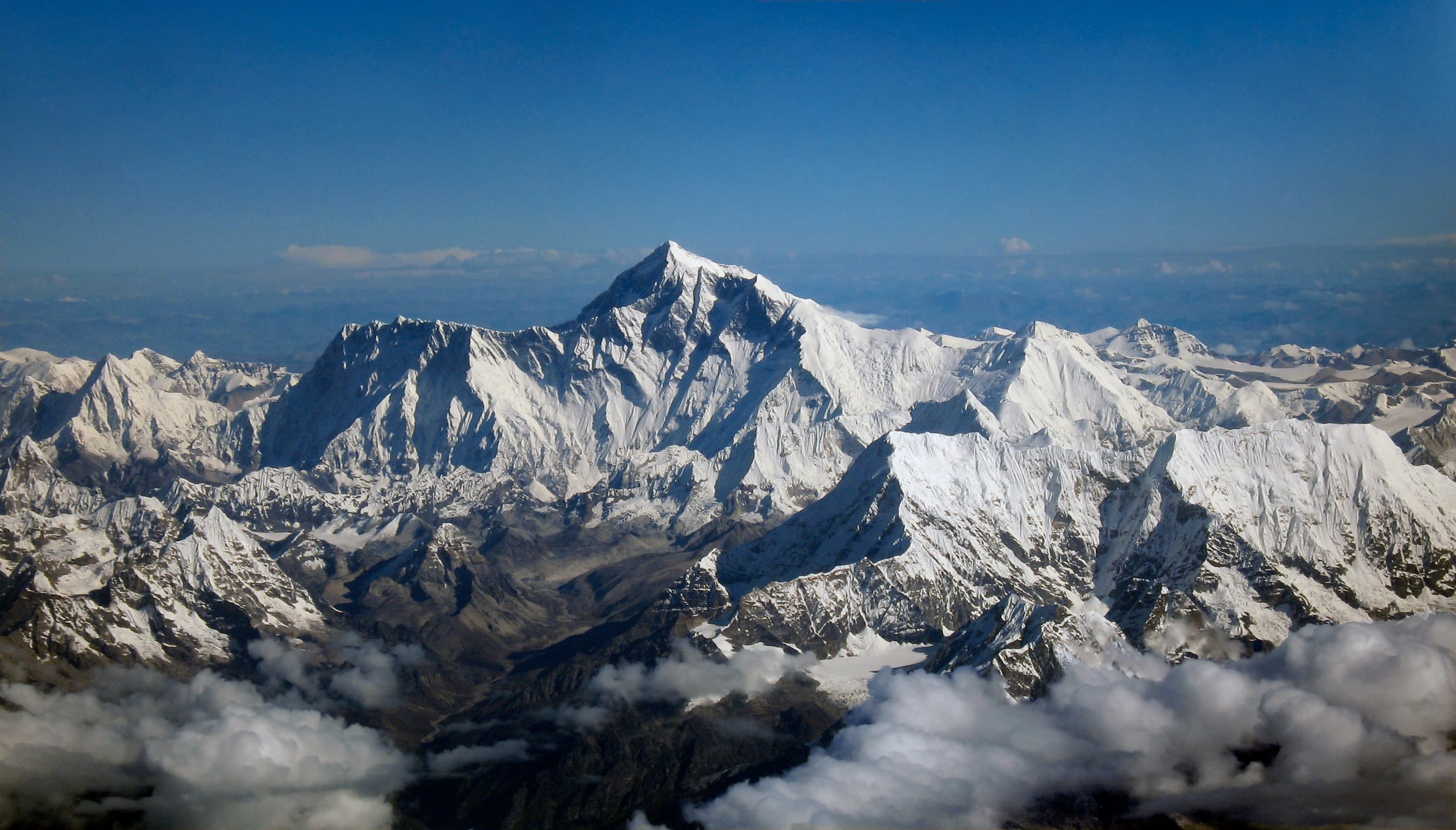
The human geography of the valley explains why so many foreigners are on the list. Gyirong and Rasuwa sit on the shortest motorable corridor between Kathmandu and the Tibetan plateau. Indian, American, Australian and European trekkers use it to reach Langtang and the pilgrimage circuit around Mount Kailash. When the ice slab fell, the people in the path were not only local farmers and traders. They were also tour groups moving on a schedule set months earlier.
What remains unmeasured is the volume of ice still hanging above the new scar. If Shugar's meltwater account is right, the same glacier can fail again in a warm spell. Chinese monitors now treat the dammed lake as the immediate second hazard. Nepal's police treat the riverbed as a mortuary that has not finished yielding the dead. The two tasks will run on the same clock for days.